

Cycling the closed gap in the Eastern Trail through Scarborough and South Portland | Column


An exquisitely designed sector of trail has been added to the Eastern Trail. (Courtesy of Ron Chase)
I’ve been biking the Eastern Trail for about 20 years. In the past, I occasionally rode north from the Black Point Road trailhead in Scarborough. After a couple of miles, the ride culminated in disappointment when the trail ended at the remains of an old railroad bridge over the Nonesuch River.
Over the years, I heard rumors there was a plan to connect the Scarborough section of the Eastern Trail with the northernmost sector in South Portland, a missing link called “the gap.” I looked forward to that eventuality and the opportunity to finish the entire trail.
When I recently watched a news report that the major effort to “Close the Gap” had been completed, I was intent on finishing my goal. The report stated the 1.6-mile missing trail link had been constructed connecting the off-road sector in Scarborough with Wainwright Sports Complex in South Portland.
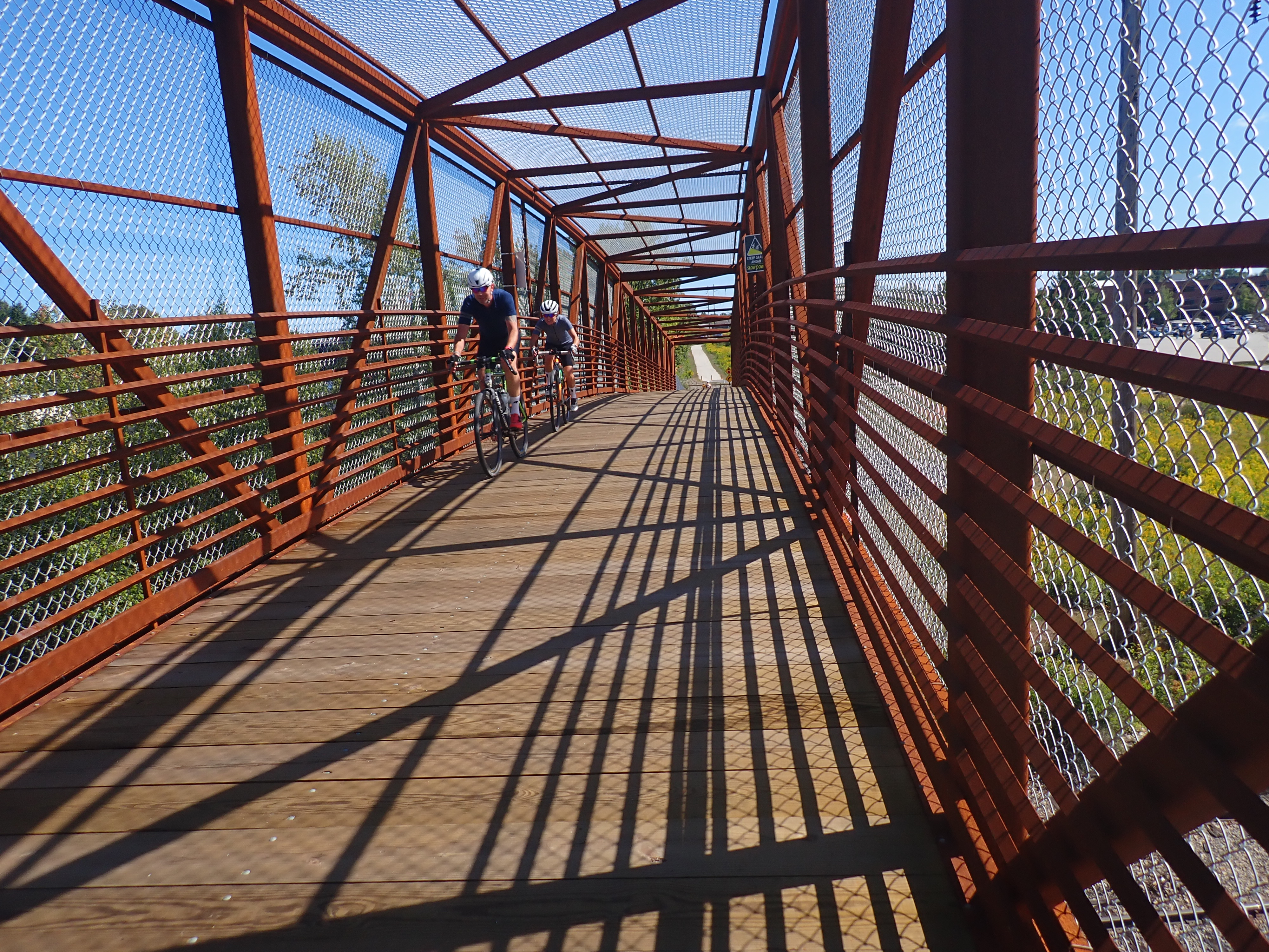
A substantial bridge over Amtrak Downeaster railroad tracks in Scarborough helps “close the gap” on the Eastern Trail. (Courtesy of Ron Chase)
I began my outing at the small Blue Point Road trailhead in Scarborough on a partly sunny fall day with moderate northwest winds. I prefer Blue Point Road trailhead because the parking is less congested than at larger facilities.
I rode a mountain bike north on a compacted gravel surface. After a short distance, I crossed Pine Point Road and entered Scarborough Marsh. I consider the marsh to be the most scenic part of the entire Eastern Trail. A moderate headwind was a minor nuisance as I progressed over the marsh bridge and a former railroad causeway where several bird-watchers were in search of the many species that inhabit the extensive wetland. Leaving the marsh I entered wooded terrain and passed Willowdale Golf Course on the left.
Soon after, I arrived at bustling Black Point Road trailhead where there is a large parking area. Just beyond, I crossed the busy road and entered a residential neighborhood. In this area, cyclists travel over paved streets where white lines on the sides of the road separate riders from the relatively slow, light traffic. At the end of Eastern Road, the path transitions to a dirt and gravel surface in a twisting, hilly forested area.
Advertisement
Turning abruptly right on dirt Desfosses Avenue, I approached the Nonesuch River. The new Close the Gap section soon began. Unlike previous trips, I cruised over an impressive new bridge followed by an exquisitely designed sector of trail. Shortly after, a more substantial, steeper bridge traverses high over Amtrak Downeaster railroad tracks and the trail crosses Pleasant Hill Road immediately below.
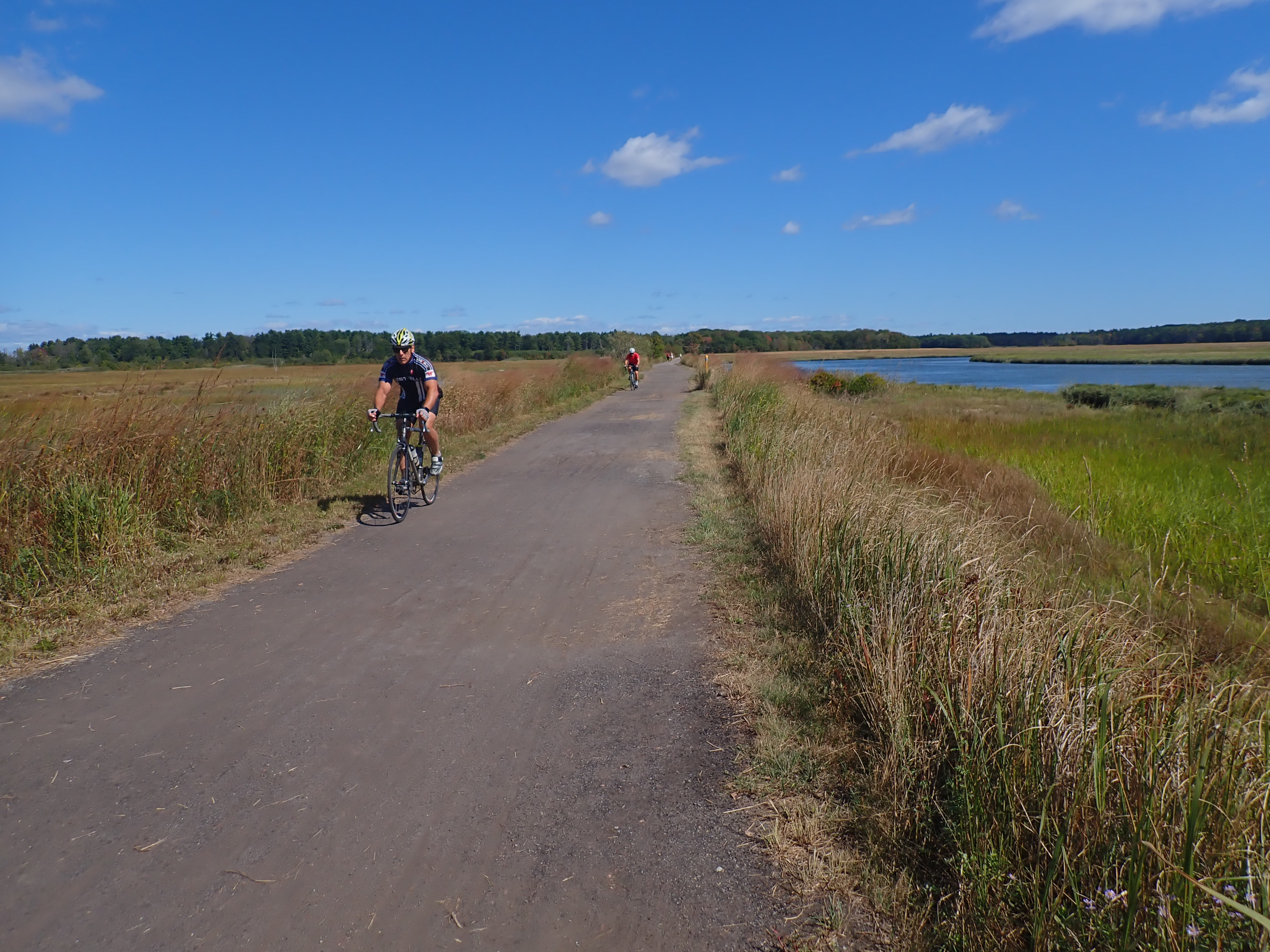
Scarborough Marsh is perhaps the most scenic part of the Eastern Trail. (Courtesy of Ron Chase)
Continuing north through a serene, relatively level section of trail, I soon passed picturesque Prouts Pond. The trail is paved along the pond and is a very pleasant, scenic ride. Departing the pond and leaving Close the Gap sector behind, I entered Wainwright Recreation Complex, a substantial array of athletic fields.
After Wainwright, the northern portion of the Eastern Trail co-named South Portland Greenbelt Walkway begins. The character of the trail changes on Greenbelt Walkway. The 5.6-mile segment is fully paved and travels through urban South Portland. The number of walkers and runners increased significantly during my ride.
Following a wooded stretch, I entered a residential and commercial area where street crossings were frequent. Traffic was very busy when I arrived at an intersection with Route 77 immediately south of thee Casco Bay Bridge. After completing a two-stage road crossing, I temporarily lost the trail. Once it was relocated, I continued east through Mill Creek Park followed by unobstructed views of Portland Harbor.
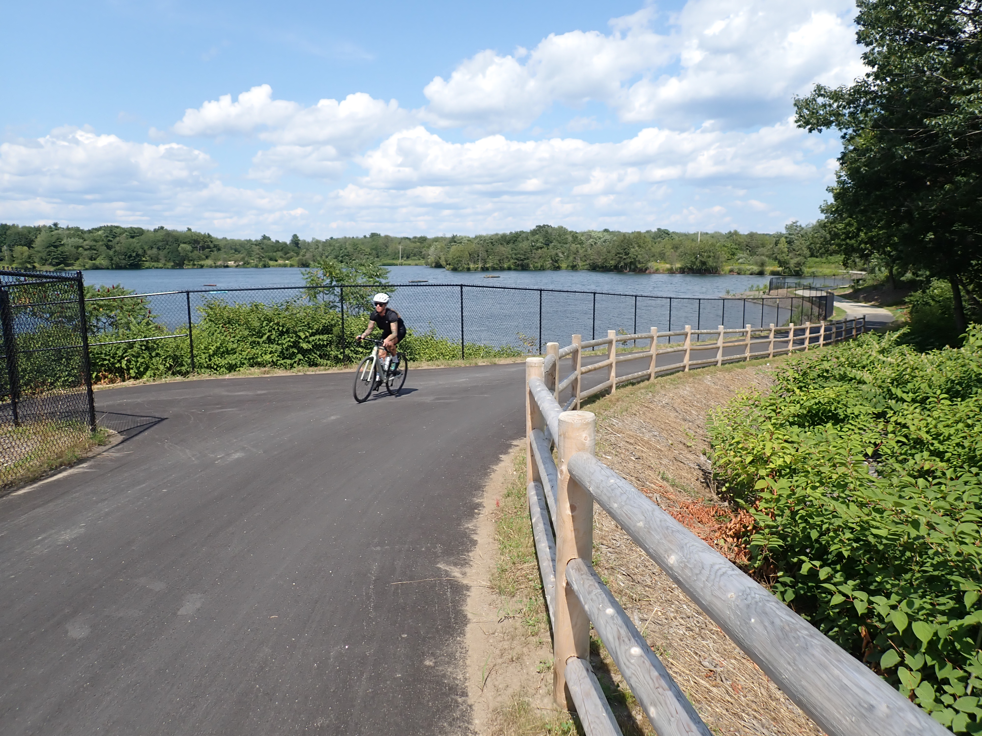
A cyclist rides a new section of the Eastern Trail past Prouts Pond in Scarborough. (Courtesy of Ron Chase)
After passing through congested Ferry Village, I angled northeast and entered Bug Light Park. I followed the trail through the park and turned abruptly left at the shore of Casco Bay. Views of the many islands in the bay were spectacular as I rode a short distance on a wide trail to historic Portland Breakwater Light (nicknamed Bug Light), the northern terminus of the Eastern Trail. I stopped for a respite while watching numerous runners, walkers, riders and tourists visit the iconic light.
Given my newly acquired knowledge, the return trip through South Portland was problem-free. Once out of the city, I thoroughly enjoyed my predominantly off-road ride back to Blue Point Road trailhead. I score the Close the Gap link a huge triumph.
Read about several more exceptional bike trails around the state and three rides on distant offshore coastal islands in my book “Maine Al Fresco: The Fifty Finest Outdoor Adventures in Maine.”
The author of “The Great Mars Hill Bank Robbery” and “Mountains for Mortals – New England,” Ron Chase resides in Topsham. His latest book, “Maine Al Fresco: The Fifty Finest Outdoor Adventures in Maine” is available at North Country Press and through online retailers. Visit his website at ronchaseoutdoors.com or he can be reached at [email protected].

**The Times Record Sustaining Sponsor
**We believe a community must be informed to thrive. bowdoin.edu
Copy the Story Link
Tagged: biking, Eastern Trail, Times Record Community